James
Dyer
Professor of Geography

Water Balance
Toolbox (v.1) for ArcGIS
This page
is no longer maintained. Version 3 of the Water Balance is now
available.
Professor of Geography
Water Balance
Toolbox (v.1) for ArcGIS
This page
is no longer maintained. Version 3 of the Water Balance is now
available.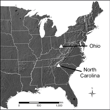 |
 |
|
| Location of the Ohio and
North Carolina study areas in the eastern United States. |
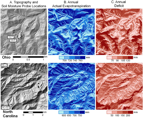
Ohio and North Carolina
study areas, showing A) topography and
location of soil moisture probes
Note the topographic pattern of (A) reflected in the
maps of AET and deficit(note difference in
scale between the two study areas),
B) Annual actual evapotranspiration, and C) Annual deficit. |
Citation:
Dyer, J.M. 2009. Assessing topographic patterns in moisture use and stress using a water balance approach, Landscape Ecology 24: 391-403.
As described in this paper, the water balance tool computes potential evapotranspiration using the Turc method for humid climates. If relative humidity is <50%, the adjusted Turc equation (with relative humidity term) would be more appropriate. To adjust PET for semi-arid and arid climates, multiply monthly PET grids by [1+((50-RH)/70)], where RH is the average monthly relative humidity value. The toolbox then computes soil moisture storage, actual evapotranspiration, soil moisture deficit, and soil moisture surplus for every grid cell within a DEM, using the Thornthwaite-Mather approach.